When you click on links to various merchants on this site and make a purchase, this can result in this site earning a commission. Affiliate programs and affiliations include, but are not limited to, the eBay Partner Network.
### **Unbroken 5-Map Run: Historical 1985 USGS / NASA Mars Maja Valles Mega-Flood Photomosaics**
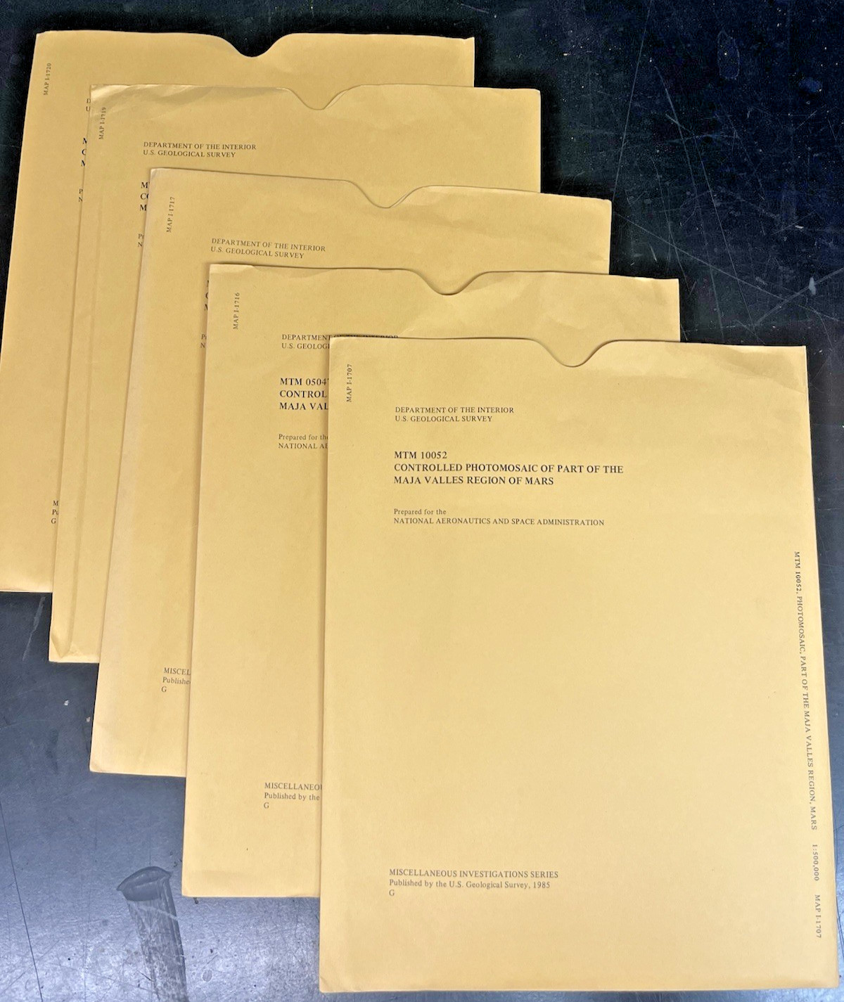
Up for sale is a spectacular, complete 5-map consecutive collection of **original USGS Miscellaneous Investigations Series (I-Series) maps** detailing the epic cataclysmic flood channels of **Maja Valles** on Mars. Published in **1985** in close collaboration with **NASA**, these documents are high-fidelity "controlled photomosaics" mathematically compiled from primary orbital photography captured during the historic Viking missions.
Instead of generic global overviews, this sequence represents the ultra-detailed **1:500,000 Mars Transverse Mercator (MTM) series**. This consecutive block of 5 unique maps pieces together perfectly to trace the colossal ancient flood paths running off the Tharsis volcanic bulge down into the Chryse basin.
These charts expose incredible carved canyon floors, streamlined islands, tear-drop scour markers, wrinkle ridges, and deep channels carved by unimaginable volumes of rushing liquid water billions of years ago. It completely charts the critical geographical corridors right before the flood zone empties onto the plains where the historic Viking 1 Lander touched down.
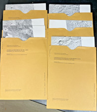
### **The Full 5-Map Super-Detailed Unique Run Includes:**1. **MAP I-1707:** Mars Transverse Mercator (MTM) Photomosaic Sheet (Maja Valles Region)2. **MAP I-1716:** Mars Transverse Mercator (MTM) Photomosaic Sheet (Maja Valles Region)3. **MAP I-1717:** Mars Transverse Mercator (MTM) Photomosaic Sheet (Maja Valles Region)4. **MAP I-1719:** Mars Transverse Mercator (MTM) Photomosaic Sheet (Maja Valles Region)5. **MAP I-1720:** Mars Transverse Mercator (MTM) Photomosaic Sheet (Maja Valles Region)*(Note: These 5 unique sheets tile together sequentially to provide an unbroken scientific tracking grid across the flood channels)*
### **💎 Condition Status: Pristine Collector's Grade Archive*** **Never Used:** These vintage maps have been safely stored away flat/folded in a climate-controlled archive for decades. They have never been opened for active research, pinned up, or displayed.* **Original Envelopes:** All 5 maps come safely housed in their original, officially printed USGS protective paper envelopes.* **State of Preservation:** Map sheets are incredibly crisp, white, and fully intact with sharp imagery. The outer envelopes show only the light, minimal vintage edge/shelf wear expected from decades of storage. No writing, heavy stamps, or tears.
### **📦 Shipping & Handling:**We pack historic outer-space ephemera with museum-grade care. The maps and their original envelopes will be layered between heavy, rigid sheets of thick protective cardboard inside waterproof shielding to eliminate all bending risks during transit. Tracking is automatically included.