When you click on links to various merchants on this site and make a purchase, this can result in this site earning a commission. Affiliate programs and affiliations include, but are not limited to, the eBay Partner Network.
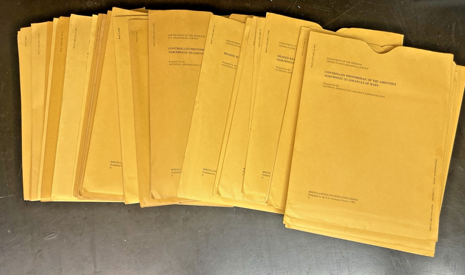
**Instant Planetary Archive: Massive 44-Lot Collection of Historical USGS / NASA Mars Maps**Up for grabs is an extraordinary, ready-made research collection featuring **44 original USGS Miscellaneous Investigations Series (I-Series) maps** detailing the geology, topography, and surface features of Mars. Published across the 1980s and 1990s in close partnership with **NASA**, these historical cartographic milestones were compiled directly from imagery sent back by the legendary Mariner 9 and Viking Orbiter missions.This bulk archive represents an exceptional cross-section of early planetary cartography. It spans diverse scales, from large-format 1:5,000,000 planetary quadrangles down to high-detail 1:2,000,000 controlled photomosaics and ultra-detailed 1:500,000 Mars Transverse Mercator (MTM) charts.
The lot spans vast territories across the Red Planet—covering cratered highland terrains, winding channels, sprawling volcanic fields, impact basins, and classic albedo features studied by generations of astronomers.
### **🗂️ Complete Master Checklist of Included Map Numbers:**This massive lot contains the following **44 physical map sheets** (42 unique titles plus two bonus duplicate sheets):
* **1400s Series:** 1427, 1428, 1429, 1439, 1440, 1475, 1476, 1477, 1478, 1495* **1500s Series:** 1511, 1552, 1554, 1581, 1583, 1584, 1587, 1588, 1589, 1592, 1598, 1599* **1600s Series:** 1601, 1603, 1604, 1619, 1622, 1623, 1624, 1625, 1628, 1629, 1630, **1635 (Bonus Duplicate Copy)**, 1646, 1653, 1673, 1675, 1676, 1678* **1700s–1900s Series:** **1717 (Bonus Duplicate Copy)**, 1812, 1855, 1954
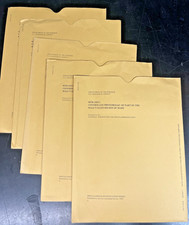
### **💎 Condition Status: Pristine Collector's & Library Grade Archive*** **Never Used:** Every single map sheet in this lot has been carefully kept in flat/folded storage for decades. They have never been actively deployed in university research labs, marked up with ink, pinned to walls, or exposed to sun-fading.* **Original Envelopes Included:** Each map sheet comes securely protected inside its original, officially printed USGS paper envelope jacket.* **State of Preservation:** The interior map sheets are crisp, white, and in immaculate vintage condition. The outer protective sleeves show only light, expected vintage shelf wear/edge scuffing from decades of flat filing cabinet storage. No major tears, heavy writing, or tape repairs.### **📦 Shipping & Handling:**Given the sheer volume and historical value of this 44-map archive, it will be packaged with extreme care. The map jackets will be bundled securely, surrounded by heavy, rigid cardboard reinforcement to completely prevent bending or edge crunching, and sealed in a heavy-duty waterproof barrier. Premium tracked shipping and carrier transit insurance are included.