When you click on links to various merchants on this site and make a purchase, this can result in this site earning a commission. Affiliate programs and affiliations include, but are not limited to, the eBay Partner Network.
### **Rare Unbroken Mosaic: 6 Historical USGS / NASA Mars Controlled Photomosaic Maps (1982)**
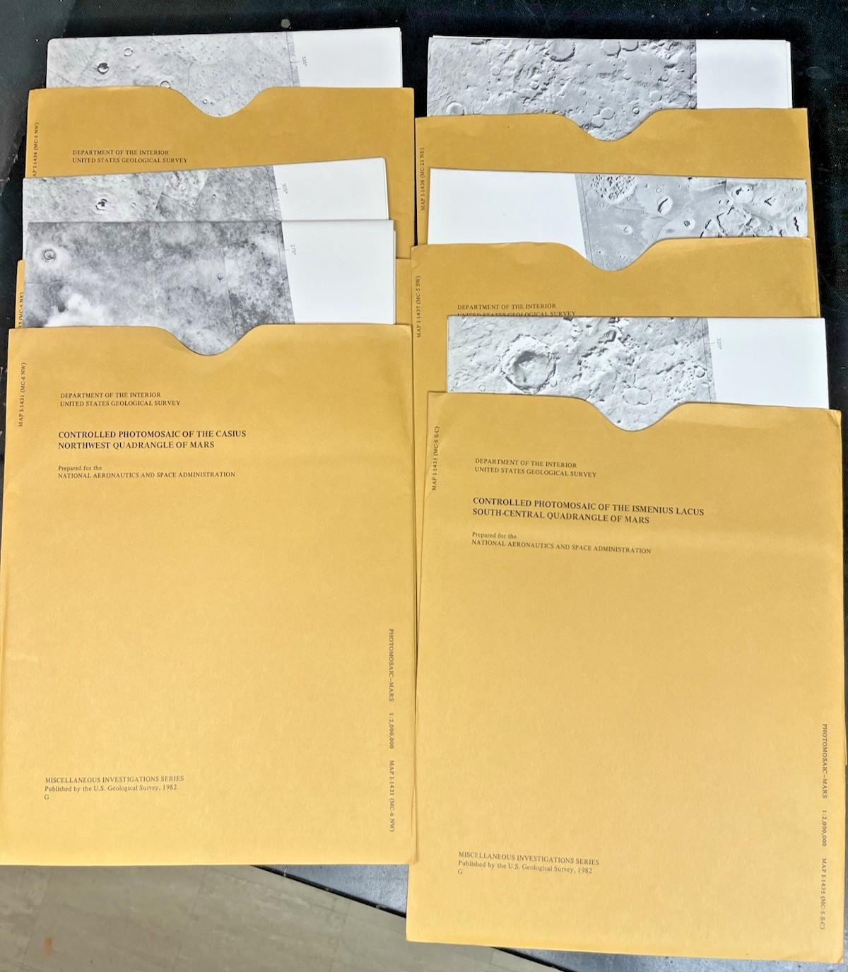
Up for sale is a beautiful, highly consecutive 6-map collection of **original USGS Miscellaneous Investigations Series (I-Series) maps** detailing the iconic **Ismenius Lacus region (MC-4)** of Mars. Published in **1982** in close partnership with **NASA**, these regional documents are high-fidelity \"controlled photomosaics\" mathematically compiled from primary orbital photography captured during the historic Viking missions.
Scaled at a sharp **1:2,000,000**, this 6-part sub-quadrangle set maps out one of the most geologically fascinating territories on the Red Planet. It documents the famous Martian \"fretted terrain\"—the sharp transitional boundary line where the heavily cratered ancient southern highlands fracture and drop down into the smooth northern lowland plains. These maps expose spectacular complex valleys, debris aprons, impacts, and unique tectonic scarps in intricate photographic detail.
### **The Full 6-Map Regional Mosaic Includes:**1. **MAP I-1431:** Controlled Photomosaic of the **Ismenius Lacus North-Central** Quadrangle2. **MAP I-1433:** Controlled Photomosaic of the **Ismenius Lacus Northeast (NE)** Quadrangle3. **MAP I-1434:** Controlled Photomosaic of the **Ismenius Lacus Northwest (NW)** Quadrangle4. **MAP I-1435:** Controlled Photomosaic of the **Ismenius Lacus South-Central** Quadrangle5. **MAP I-1436:** Controlled Photomosaic of the **Ismenius Lacus Southeast (SE)** Quadrangle6. **MAP I-1437:** Controlled Photomosaic of the **Ismenius Lacus Southwest (SW)** Quadrangle7. **MAP I-1438:** Controlled Photomosaic of the **Ismenius Lacus West-Central** Quadrangle
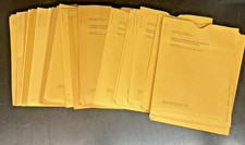
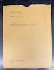
### **💎 Condition Status: Pristine Collector\'s Grade Archive*** **Never Used:** These vintage maps have been safely stored away in flat archival files for over four decades. They have never been unfolded for active research, marked up, pinned to walls, or displayed.* **Original Envelopes:** All 6 maps come safely housed in their original, officially printed USGS protective paper envelopes.* **State of Preservation:** Map sheets are crisp, white, and fully intact with sharp imagery. The outer envelopes show only the light, minimal vintage edge/shelf wear expected from decades of storage. No writing, heavy stamps, or tears.
### **📦 Shipping & Handling:**We treat historic space ephemera with the absolute highest standard of care. The maps will be packed securely with heavy, rigid cardboard sheets to completely eliminate folding or bending risks and sealed inside waterproof shielding. Fully tracked shipping is included.