When you click on links to various merchants on this site and make a purchase, this can result in this site earning a commission. Affiliate programs and affiliations include, but are not limited to, the eBay Partner Network.
### **Vintage 1979 USGS / NASA Preliminary Pictorial Map of Europa (I-1241)**
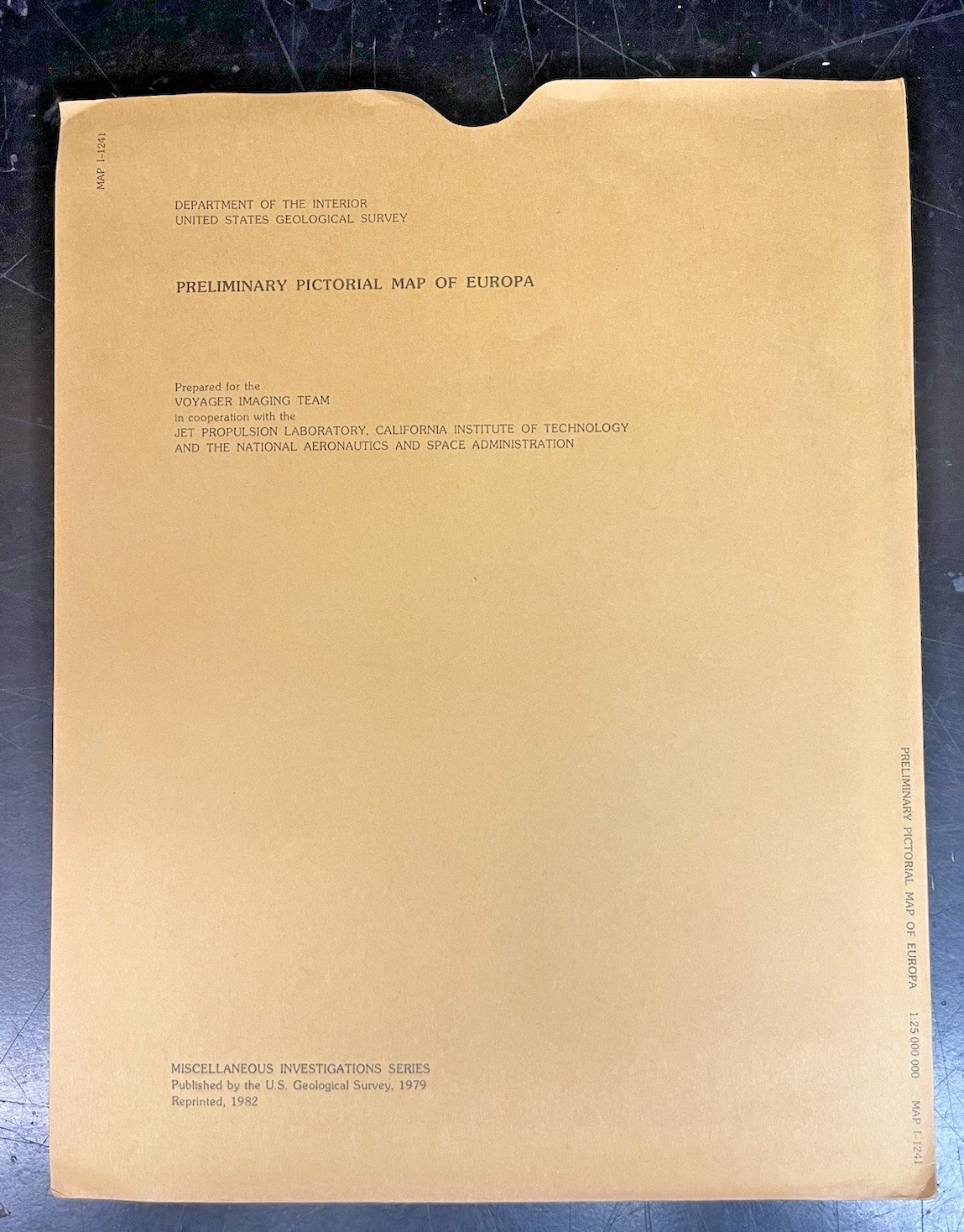
Up for sale is an incredibly rare, pristine original copy of **USGS Miscellaneous Investigations Series Map I-1241**, titled the *"Preliminary Pictorial Map of Europa."* Published in **1979** in close collaboration with **NASA**, this cartographic document captures the initial, mesmerizing close-up look at Jupiter's icy moon following the legendary Voyager mission flybys.
This map captures a monument in outer solar system exploration. Rather than showing classic craters, it documents the discovery of Europa's vast, intersecting global lineaments, fractures, and massive fault scarps. The sheet includes two beautifully presented remote-sensing maps—a Mercator projection of the equatorial belt and a Polar stereographic projection of the high latitudes.
### **💎 Condition Status: Pristine Collector's Grade Archive*** **Never Used:** This vintage map sheet has been safely archived flat/folded for nearly five decades. It has never been displayed, pinned up, or handled in active university research labs.* **Original Envelope:** Comes safely enclosed inside its original, officially printed USGS protective paper envelope.* **State of Preservation:** The map sheet is clean with bright white paper and flawless ink details. The outer envelope shows only minimal vintage shelf/edge wear expected from decades of flat storage. No tape, handwriting, or heavy tears.
### **📦 Shipping & Handling:**We pack historic outer-space ephemera with museum-grade care. The map and its original envelope will be layered between heavy, rigid sheets of thick protective cardboard inside waterproof shielding to eliminate all bending risks during transit. Tracking is automatically included.