When you click on links to various merchants on this site and make a purchase, this can result in this site earning a commission. Affiliate programs and affiliations include, but are not limited to, the eBay Partner Network.
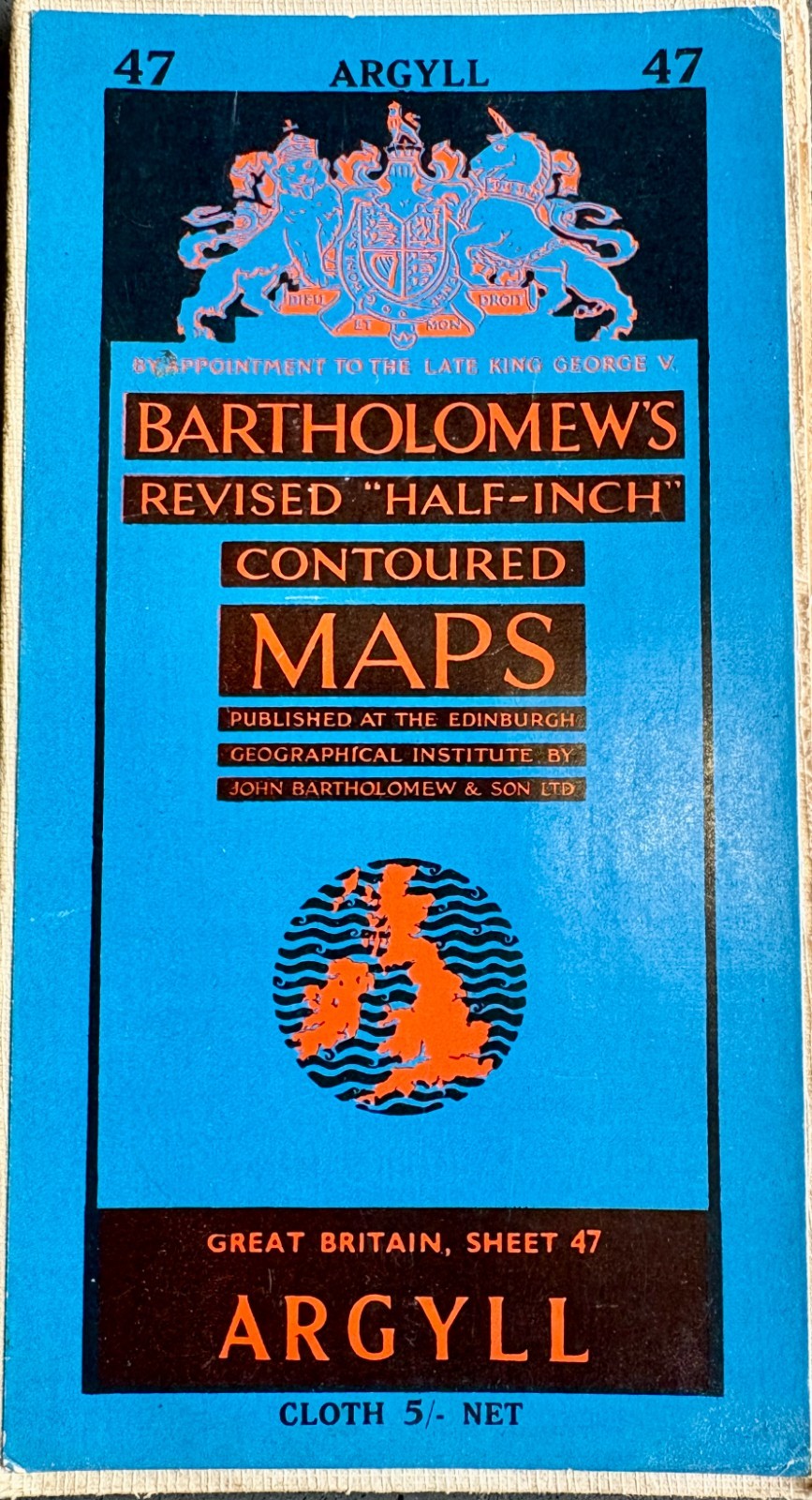
Published by John Bartholomew & Son Ltd at the Edinburgh Geographical Institute, this is the cloth-backed edition of their beautifully coloured Revised Half-Inch series.
The map covers a wonderful sweep of western Scotland, including Argyll, Mull, Loch Linnhe, Loch Awe, Loch Fyne and surrounding islands, lochs, mountains, towns and villages. The distinctive Bartholomew layer colouring shows changes in elevation across the landscape, producing the beautiful greens, browns and blues characteristic of these maps.
This is Great Britain Sheet 47 – Argyll, at a scale of half an inch to one mile. The original cover remains with the map and is marked “Cloth 5/- Net.” The reverse advertises the complete Bartholomew Revised Half-Inch Great Britain series and shows the index to adjoining sheets.
The map also carries the wording “By Appointment to the late King George V.”
A particularly attractive piece of vintage Scottish cartography, ideal for a collector, walker, Scottish Highlands enthusiast, or someone with a family or personal connection to Argyll and Scotland\'s west coast.
Approximate date: c.1953
Sheet: 47 – Argyll
Scale: ½ inch to 1 mile
Publisher: John Bartholomew & Son Ltd
Edition: Cloth-backed folding map
Region: Argyll, Western ScotlandPacks with care. Ships from Tasmania, Australia.