When you click on links to various merchants on this site and make a purchase, this can result in this site earning a commission. Affiliate programs and affiliations include, but are not limited to, the eBay Partner Network.
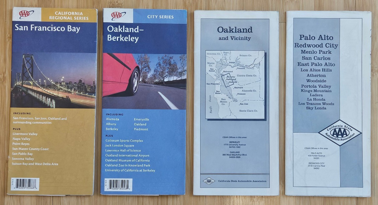
Includes the following four folded road and street maps:
- San Francisco Bay – California Regional Series
- Oakland–Berkeley – City Series
- Oakland and Vicinity
- Palo Alto / Redwood City / Menlo Park / East Palo Alto and surrounding areas
These are older AAA/California State Automobile Association maps covering San Francisco, Oakland, Berkeley, the East Bay, Peninsula and surrounding Bay Area communities. They include detailed streets, highways, communities, points of interest and regional travel information.
Condition: New/unused old stock. Maps have been stored folded and may have minor age-related storage wear, edge wear or light creasing. Please review photos for exact condition and editions.
You will receive the exact 4 maps shown in the photos.
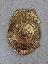
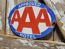
Nice lot for collectors of vintage road maps, AAA memorabilia, California ephemera, Bay Area history, or anyone interested in how the San Francisco Bay Area road network looked before widespread GPS navigation.