When you click on links to various merchants on this site and make a purchase, this can result in this site earning a commission. Affiliate programs and affiliations include, but are not limited to, the eBay Partner Network.
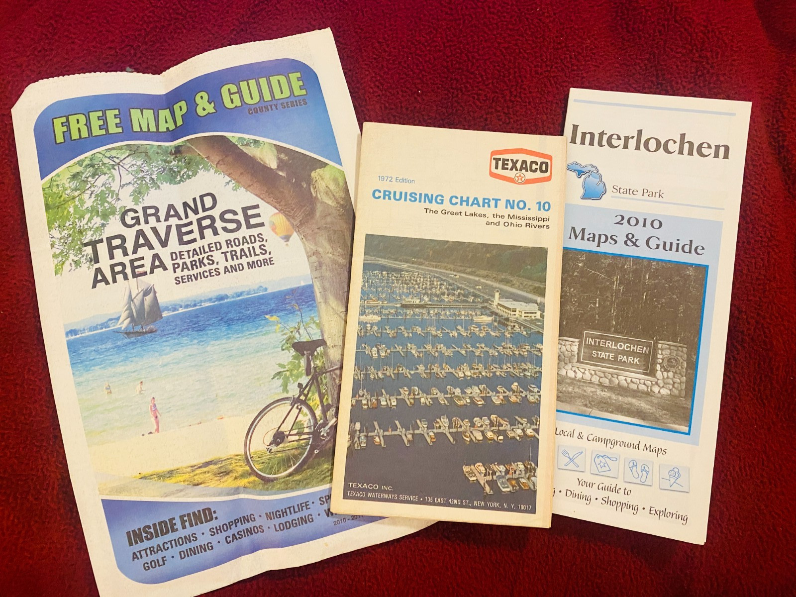
Vintage 1972 edition Texaco Cruising Chart No. 10, published by Texaco Inc./Texaco Waterways Service, covering the Great Lakes, the Mississippi River, and the Ohio River — a boating/nautical chart from the golden era of oil-company cruising guides for yachtsmen, featuring coastlines, distances, and period Texaco station locations for refueling. Great piece of vintage petroliana/nautical crossover ephemera, suitable for display or framing.
Includes two bonus modern visitor guides at no extra charge: a Grand Traverse Area (Michigan) Free Map & Guide (2010–2011 County Series) and an Interlochen State Park 2010 Maps & Guide — included as freebies, not factored into the price.
Good vintage condition on the Texaco chart — cover wear consistent with age, no tears noted. The two bonus modern guides are in clean, near-new condition. From a smoke and pet free home.