When you click on links to various merchants on this site and make a purchase, this can result in this site earning a commission. Affiliate programs and affiliations include, but are not limited to, the eBay Partner Network.
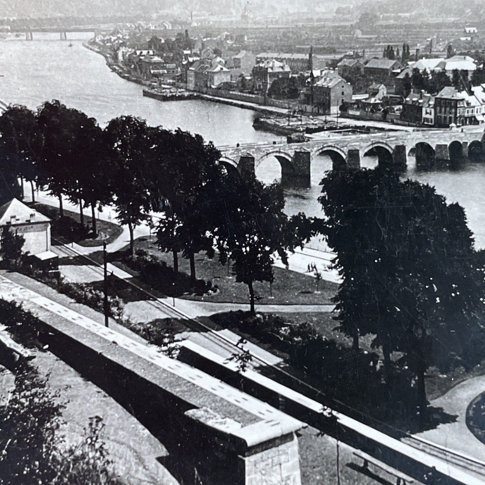
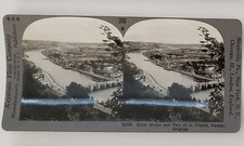
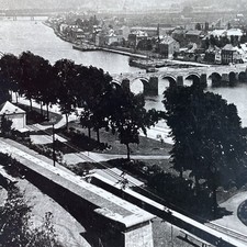
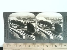
Discover a captivating piece of early 20th-century history with this antique stereoview card from the renowned Keystone View Company. This 3D view transports you to Namur, Belgium, showcasing the scenic River Meuse and the surrounding cityscape, complete with a prominent bridge and the Parc de la Citadelle. The detailed image captures a moment in time, offering a unique perspective on European geography and urban landscape from the era. This stereograph provides a fascinating glimpse into the past, perfect for collectors of vintage photography and historical artifacts.The reverse side of this stereoview card features an in-depth description, enhancing its historical value. The text reads: \"397—(10115) NAMUR, BELGIUM.
Where the Sambre (sän\'br) River flows into the Meuse (müz) the city of Namur (nä\'mür) is built. The country about is hilly, and is rich in iron and coal. The section of Belgium south of the Meuse furnishes the iron to make Belgian machinery, and the coal to run its factories. The Meuse River is also the natural line of defense for Belgium against Germany. Namur has therefore seen its share of the battles in which unhappy Belgium has been so often plunged. In the fall of 1914 the German army battered down the forts of Liege (lē-ězh\'), 30 miles above Namur. Then it marched upon Namur.
The view shows the park behind the old fort of Namur, and the Meuse River with the stone bridges across it. The park consists of 160 acres, well laid out with drives, shrubbery, and trees. The place where the fort or Citadel is, was once the camping ground of a tribe of warriors against whom Caesar hurled the Roman legions.
Lat. 50° N.; Long. 5° E.
The city is a manufacturing center. It makes cutlery chiefly. But it also manufactures pottery, glass, and porcelain. It has two fine cathedrals. The population of the city is less than 50,000. It is the capital of the Belgian province of Namur, and is 35 miles southeast of Brussels.
Since the time of Caesar, Belgium has been one of the chief fighting grounds of Europe. This is partially due to its location, and partially to the levelness of the land. Perhaps its best known battlefield is that of Waterloo, where Napoleon was defeated.
On your map find Namur and Liege. Trace the course of the Meuse. What little country borders Belgium on the southeast? What large country the south of it? What country is on the west? Which way is Holland from Belgium? Why are Holland and Belgium called the Low Countries?
Copyright by The Keystone View Company.\"This original Keystone View Company stereoview is presented on a standard curved cardboard mount, featuring dual black and white albumen prints for an immersive 3D experience when viewed through a stereoscope. The card is marked with the view number \"397\" at the top and the title \"10115—River Meuse and Parc de la Citadel, Namur, Belgium.\" at the bottom. The publisher\'s details \"Keystone View Company Manufacturers Publishers COPYRIGHTED Made In U. S. A.\" are printed along the left edge, with additional branch locations \"Meadville, Pa., New York, N. Y., Portland, Oregon. London, Eng., Sydney, Aus.\" along the right edge. This stereocard is a perfect addition to any collection of geographic or historical stereographs, offering both visual appeal and educational content.