When you click on links to various merchants on this site and make a purchase, this can result in this site earning a commission. Affiliate programs and affiliations include, but are not limited to, the eBay Partner Network.
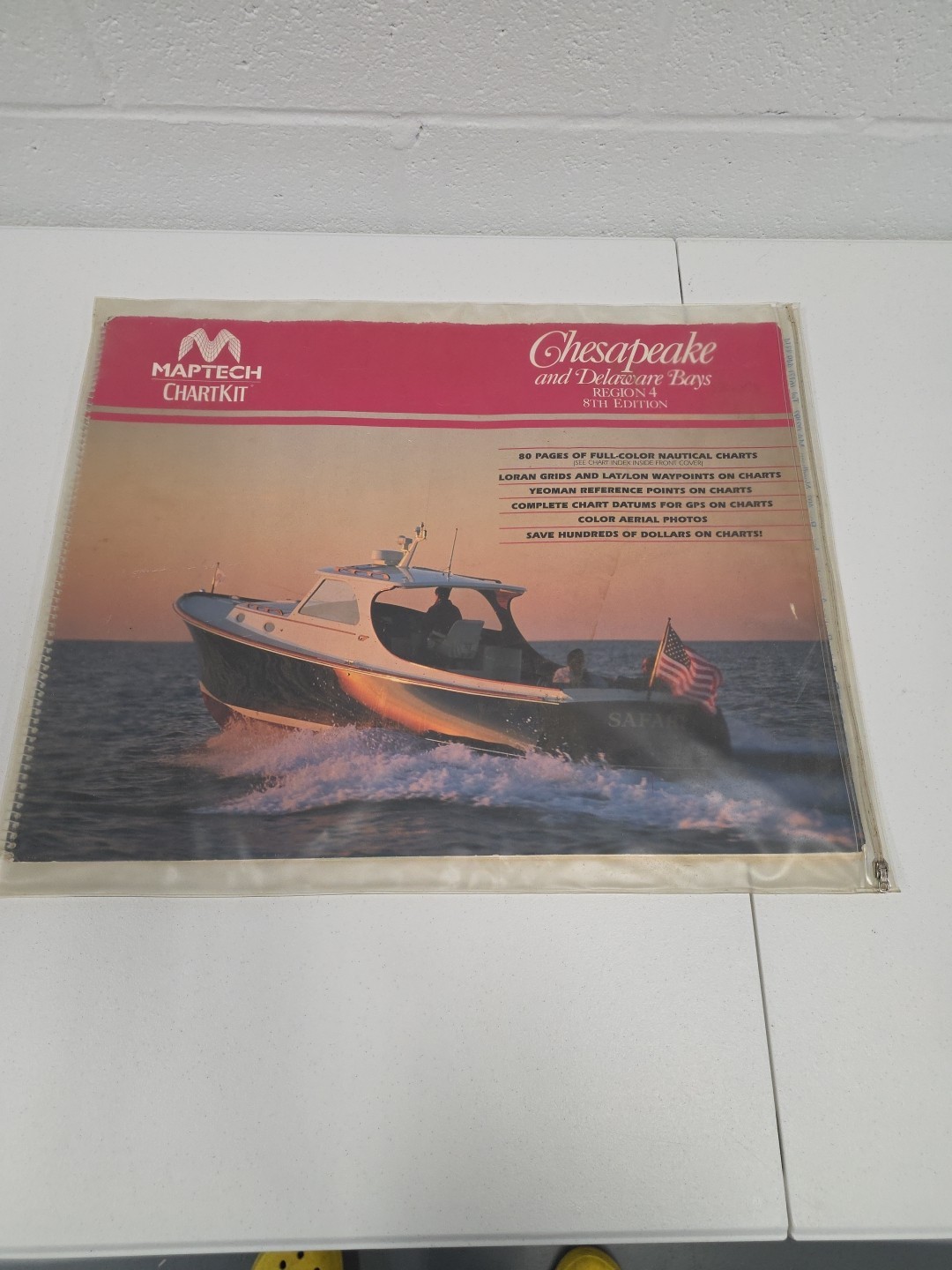
Maptech ChartKit Chesapeake & Delaware Bays Region 4 8th Edition Zip Cover
Measurements & Details:
Approx. 22\" x 17\" spiral-bound chart book
80 pages of full-color nautical charts
Loran grids and latitude/longitude waypoints
Yeoman reference points and complete chart datums for GPS
Includes color aerial photos
Comes with original Maptech waterproof zip cover
Condition:
Preowned condition. Some surface wear on outer cover from age and handling, consistent with typical use. Pages inside appear complete and intact. Zip cover is functional with mild age-related marks. Zip cover is dirty, but no holes rips or tears and the zipper is functional.
Description:
Vintage Maptech ChartKit covering the Chesapeake and Delaware Bays (Region 4, 8th Edition). This comprehensive nautical reference includes full-color charts, aerial photos, and GPS-compatible data. Ideal for navigators, collectors, or maritime enthusiasts who appreciate traditional paper charts.
Produced by Maptech, Inc., this edition also features reference content sponsored by The Hinckley Company, known for premium boat services. A great resource for planning, backup navigation, or display in a nautical-themed office or boathouse.
Stored in a smoke and pet-free home.