

|
Site Categories |
|
Featured Items |

Poodle, Spaghetti Trim, Ucagco


|
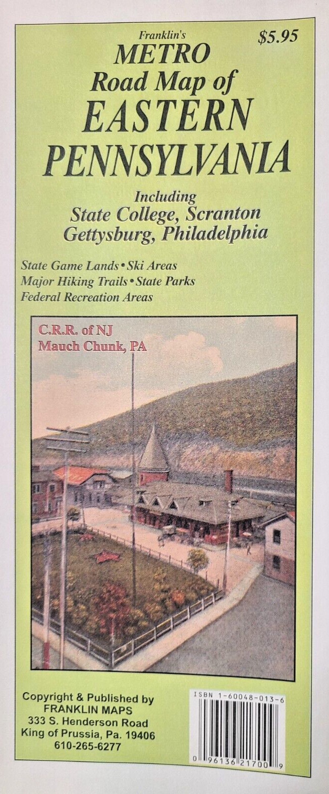
Eastern Pennsylvania Road Map by Franklin Maps For Sale

When you click on links to various merchants on this site and make a purchase, this can result in this site earning a commission. Affiliate programs and affiliations include, but are not limited to, the eBay Partner Network.

Eastern Pennsylvania Road Map by Franklin Maps:
$14.95
Eastern Pennsylvania Road Map by Franklin Maps49½\" x 36\" (folded size is 4½ x 10)This map covers the eastern Half of Pennsylvania from the just west of State College into New Jersey.From the New York/Pennsylvania border south to Maryland/Delaware border. Counties are outlined with highly visible orange/red line.All Interstate Highways, U.S. Routes, State Routes shown along with many connector roads (unnamed).Ski Areas, Airports are symbolized on map. State Parks & Forest, are colored out along with symbols.Game Lands are colored and Game Land #s are indicated.You may also be interested in our companion map of Western PA.Other titles of interest: Northeastern PA, Southcentral PA, Philadelphia 50 Mile Radius, Southern NJ.Not Used. 1 inch = approx. 6 miles. ©2006
|
|
Related Items:
Eastern Pennsylvania Road Map by Franklin Maps $14.95
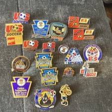
US Youth Soccer Pinback Lot Eastern Pennsylvania Region I Tournament Pins $30.00
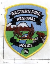
Pennsylvania - Eastern Pike Regional Police Dept PA Patch $4.25
|
|
|
Shopping Cart  |

|
Recently Viewed |
|
Latest Items |
|
Facebook |
Secure Websites

|
