When you click on links to various merchants on this site and make a purchase, this can result in this site earning a commission. Affiliate programs and affiliations include, but are not limited to, the eBay Partner Network.
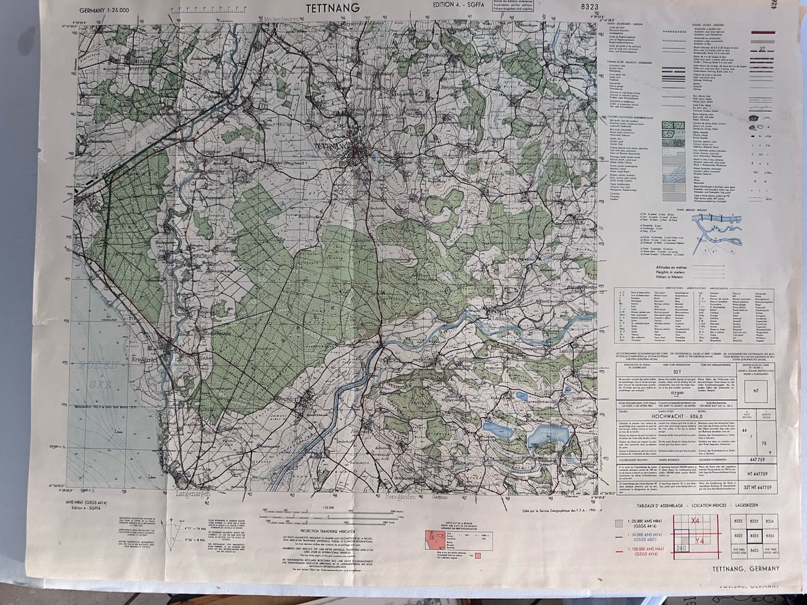
Original 1955 military topographic map of Tettnang, Germany and the surrounding Lake Constance region.
Sheet 8323 from Germany Series AMS M841 (GSGS 4414), Edition 4-SGFFA. Published by the Service Géographique des Forces Françaises en Allemagne. Detailed color printing at a scale of 1:25,000 shows roads, railways, waterways, forests, elevations, towns and other terrain features.
The map includes Tettnang, Friedrichshafen, Langenargen and nearby communities. Multilingual map key and coordinate information appear along the margins.
Vintage used condition with original fold lines, wrinkles, edge wear, small edge tears, light toning/spotting and scattered period pencil or ink markings. Please examine all photographs closely for exact condition and included details.
From a smoke-free and pet-free home.
Thank you :).