When you click on links to various merchants on this site and make a purchase, this can result in this site earning a commission. Affiliate programs and affiliations include, but are not limited to, the eBay Partner Network.
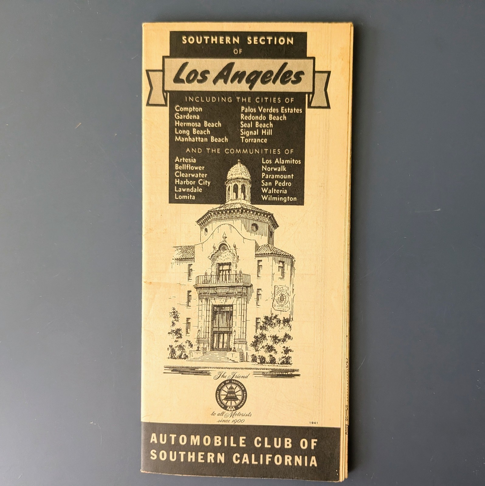
Original 1941 Southern Section of Los Angeles folding street map, compiled and drawn by the Map Division of the Automobile Club of Southern California. Covers the southern Los Angeles / harbor-area region, including Long Beach, San Pedro, Wilmington, Torrance, Gardena, Redondo Beach, Hermosa Beach, Manhattan Beach, Palos Verdes Estates, Lomita, Harbor City, Signal Hill, Seal Beach, Los Alamitos, Compton, Norwalk, Paramount, Artesia, Bellflower, Lawndale, and Walteria.
The map shows streets, highways, rail lines, municipal boundaries, schools, public buildings, parks, recreation areas, coastal contours, harbor features, and points of interest. Nice pre-freeway / World War II-era Los Angeles area road map with strong South Bay, Long Beach, San Pedro Harbor, Palos Verdes, and beach-city interest.
Folded brochure cover is dated 1941 and has the classic Automobile Club of Southern California black-and-white design. Map folds out to a large street map. Original fold lines as issued, with age toning, handling wear, small creases, and light soiling. Please review photos for full condition.
35 x 23.5\"