

|
Site Categories |
|
Featured Items |

Poodle, Spaghetti Trim, Ucagco


|
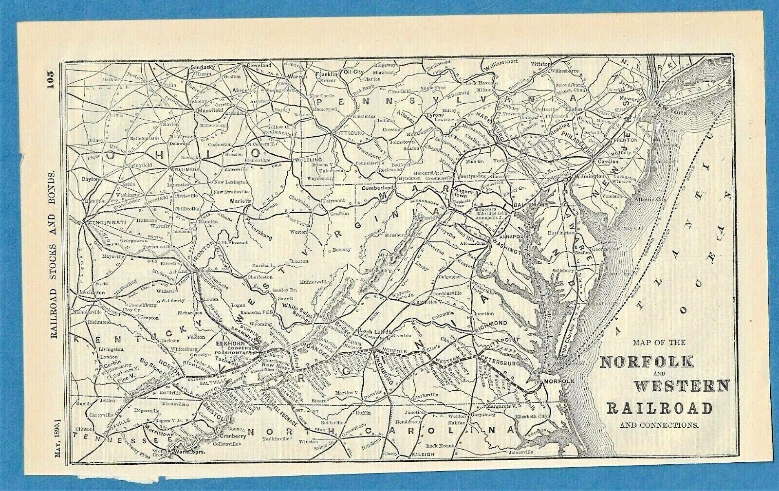
1890 NORFOLK AND WESTERN RAILROAD AND CONNECTIONS MAP For Sale

When you click on links to various merchants on this site and make a purchase, this can result in this site earning a commission. Affiliate programs and affiliations include, but are not limited to, the eBay Partner Network.

1890 NORFOLK AND WESTERN RAILROAD AND CONNECTIONS MAP:
$22.00
An original Railroad Map from the May, 1890 \"Investor\'s Supplement\" to \"The Commercial & Financial Times\" journal (dated at top of page). Measures approx. 8 x 12 inches. Text on reverse. This 135-year old map is in very good condition. (The Norfolk and Western Railroad originally began as the 9-mile City Point Rail Road in 1838. Following several major organizational transformations—including a stint as the Atlantic, Mississippi, and Ohio Railroad—the line was sold and rebranded as the Norfolk and Western Railroad in 1881. The year 1890 marked a golden era of geographic growth just a few years prior to its final 1896 restructuring into the well-known Norfolk and Western Railway Company). 222 Our 27th year on
|
|
Related Items:
1890 Norfolk VA Facts and Figures Chamber of Commerce Original Antique Booklet $120.00
1890 NORFOLK AND WESTERN RAILROAD AND CONNECTIONS MAP $22.00
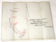
VTG 1890 NORFOLK & WESTERN RAILWAY MAP OHIO EXTENSION WAYNE COUNTY, WV 11x9" $51.99
|
|
|
Shopping Cart  |

|
Recently Viewed |
|
Latest Items |
|
Facebook |
Secure Websites

|
