When you click on links to various merchants on this site and make a purchase, this can result in this site earning a commission. Affiliate programs and affiliations include, but are not limited to, the eBay Partner Network.
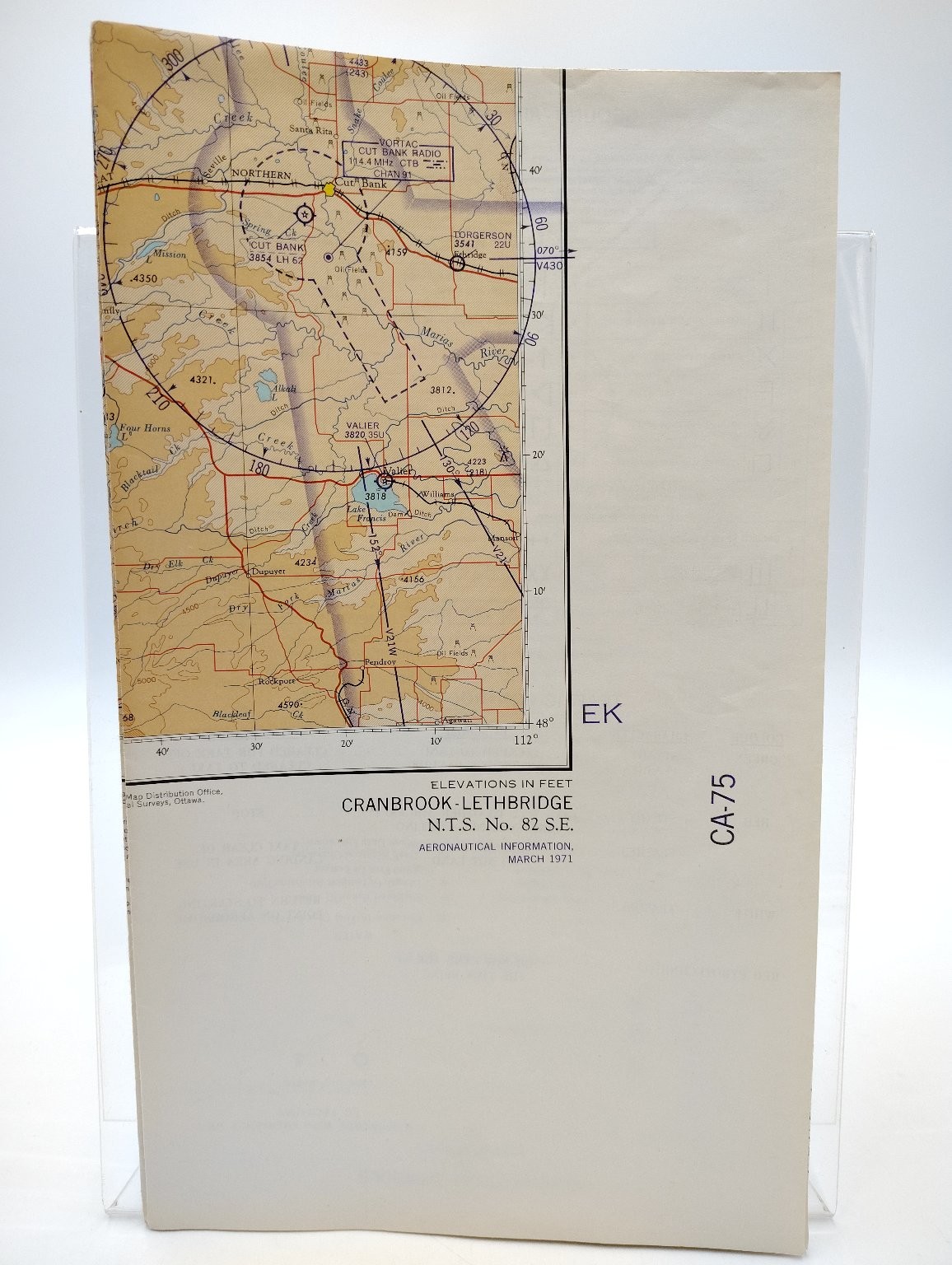
This is a vintage aeronautical map, specifically a Cranbrook - Lethbridge chart (N.T.S. No. 82 S.E.), produced for aerial navigation in Canada. The map provides essential aeronautical information for pilots and aviation enthusiasts. It features detailed topographical data, including elevations in feet, and key navigational points across the region.This map was produced by the Canada Department of Mines and Technical Surveys, Surveys and Mapping Branch. It is dated April 10, 1971, making it a piece of historical aviation cartography. The chart is identified as CA-75, indicating its specific series within the Canadian aeronautical charts. This listing includes one folded map sheet as pictured, providing a glimpse into mid-20th-century Canadian air navigation.Verified Specifications:
Brand/Maker: Canada Department of Mines and Technical Surveys, Surveys and Mapping Branch
Item Type: Aeronautical Map / Chart
Era/Style: Vintage
Material: Paper
Specifications: N.T.S. No. 82 S.E., CA-75, Elevations in Feet
Features: Aeronautical Information, Topographical Details
Included Components: 1 map sheet (as pictured)
Country of Origin: Canada
Year: 1971