When you click on links to various merchants on this site and make a purchase, this can result in this site earning a commission. Affiliate programs and affiliations include, but are not limited to, the eBay Partner Network.
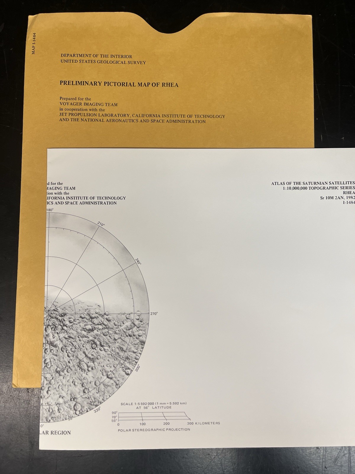
### **Vintage 1982 USGS / NASA Preliminary Pictorial Map of Rhea (I-1484)**Map I-1484 brings us to the earliest official visual record of this icy world. Published by the USGS for NASA in 1982, this specific sheet is the historic "Preliminary Pictorial Map of Rhea."Compiled by renowned planetary cartographer Raymond M. Batson, this single-sheet chart marks the first-ever comprehensive global surface map of Saturn's heavily cratered moon, using the initial close-up television imagery beamed back by the Voyager 1 and Voyager 2 flybys.Up for sale is an incredibly rare, pristine original copy of **USGS Miscellaneous Investigations Series Map I-1484**, titled the *"Preliminary Pictorial Map of Rhea."* Published in **1982** in close collaboration with **NASA**, this cartographic document captures humanity's very first global mosaic of Saturn's second-largest moon following the historic Voyager deep-space encounters.
Assembled by legendary planetary mapping pioneer Raymond M. Batson, this chart translates raw television images into a structured planetary grid. It reveals Rhea’s intensely cratered, bright, icy terrain alongside its distinctive wispy, high-albedo fractures. The sheet features a clean Mercator projection of the equatorial belt paired with dual Polar stereographic projections tracking the high northern and southern latitudes.
### **💎 Condition Status: Pristine Collector's Grade Archive*** **Never Used:** This vintage map sheet has been safely archived flat/folded for over four decades. It has never been pinned up, displayed, or handled in active university research labs.* **Original Envelope:** Comes safely enclosed inside its original, officially printed USGS protective paper envelope.* **State of Preservation:** The map sheet is clean with bright white paper and flawless ink details. The outer envelope shows only minimal vintage shelf/edge wear expected from decades of flat storage. No tape, handwriting, or heavy tears.
### **📦 Shipping & Handling:**We pack historic outer-space ephemera with museum-grade care. The map and its original envelope will be layered between heavy, rigid sheets of thick protective cardboard inside waterproof shielding to eliminate all bending risks during transit. Tracking is automatically included.