When you click on links to various merchants on this site and make a purchase, this can result in this site earning a commission. Affiliate programs and affiliations include, but are not limited to, the eBay Partner Network.
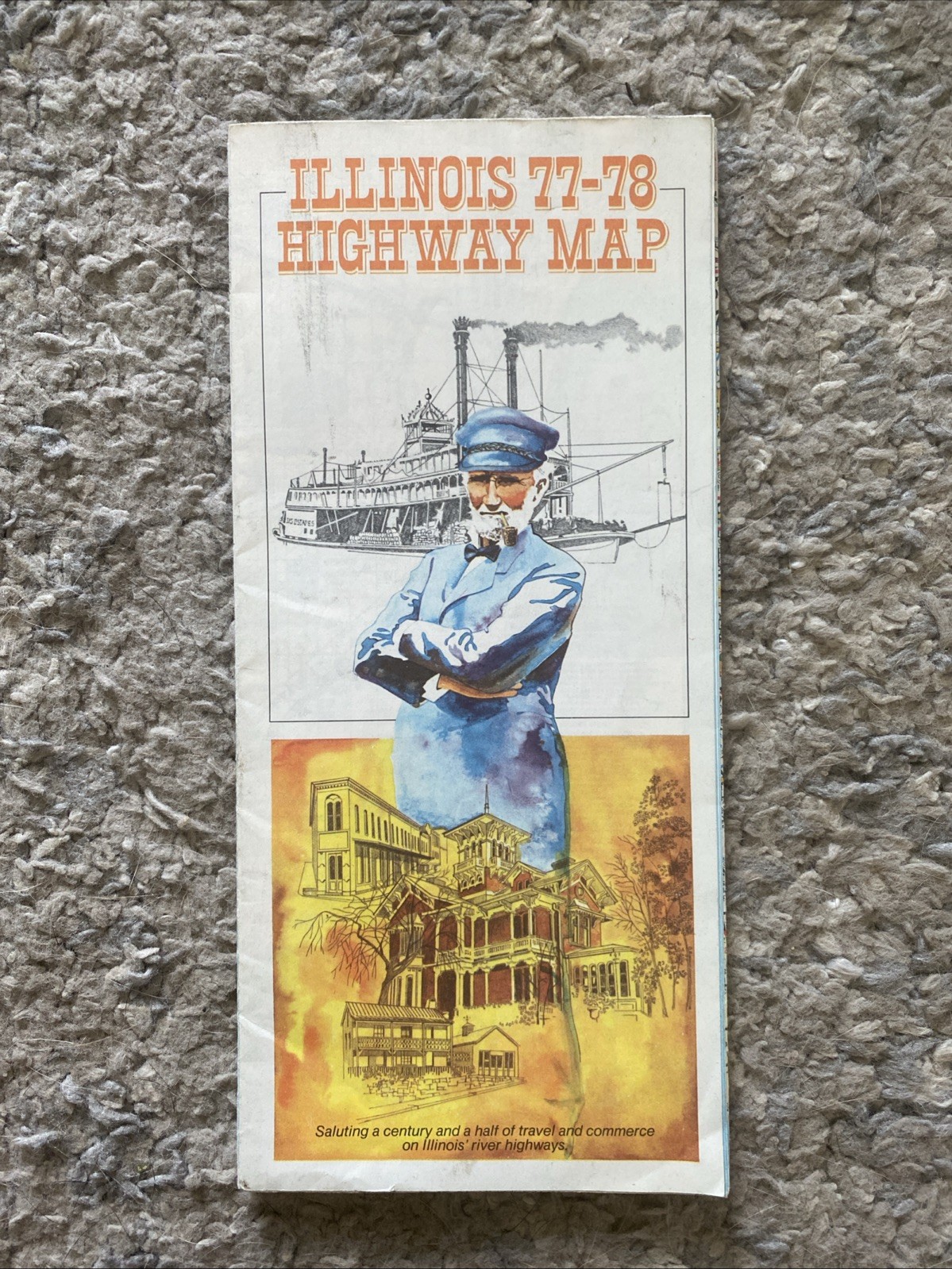
Description:Original vintageIllinois 1977–1978 Highway Mapissued by the Illinois Department of Transportation. Features detailed statewide roadways, mileage charts, recreation areas, and city insets including Chicago and St. Louis. Great piece of Illinois travel history, ideal for map collectors, framing, or nostalgia decor.
- Opened dimensions:approximately24” x 36”
- Closed dimensions:approximately 4\" x 9\"
Map folds out fully and displays well. Please review photos closely as they are part of the description.
Condition:Good vintage condition overall. Typical age related wear including fold lines, edge wear, and light creasing. No major tears observed. Colors remain vibrant and text is readable throughout. See photos for exact condition details.
Shipping:I always combine shipping whenever possible, just add items to your cart before checkout! I don’t look to profit off of shipping, but unfortunately it can get expensive. I offer multiple shipping options so you can choose the most cost effective for you. Your item will be securely packaged and shipped with care.
Will ship in a bubble envelope with a cardboard insert to prevent bends during shipping.