When you click on links to various merchants on this site and make a purchase, this can result in this site earning a commission. Affiliate programs and affiliations include, but are not limited to, the eBay Partner Network.
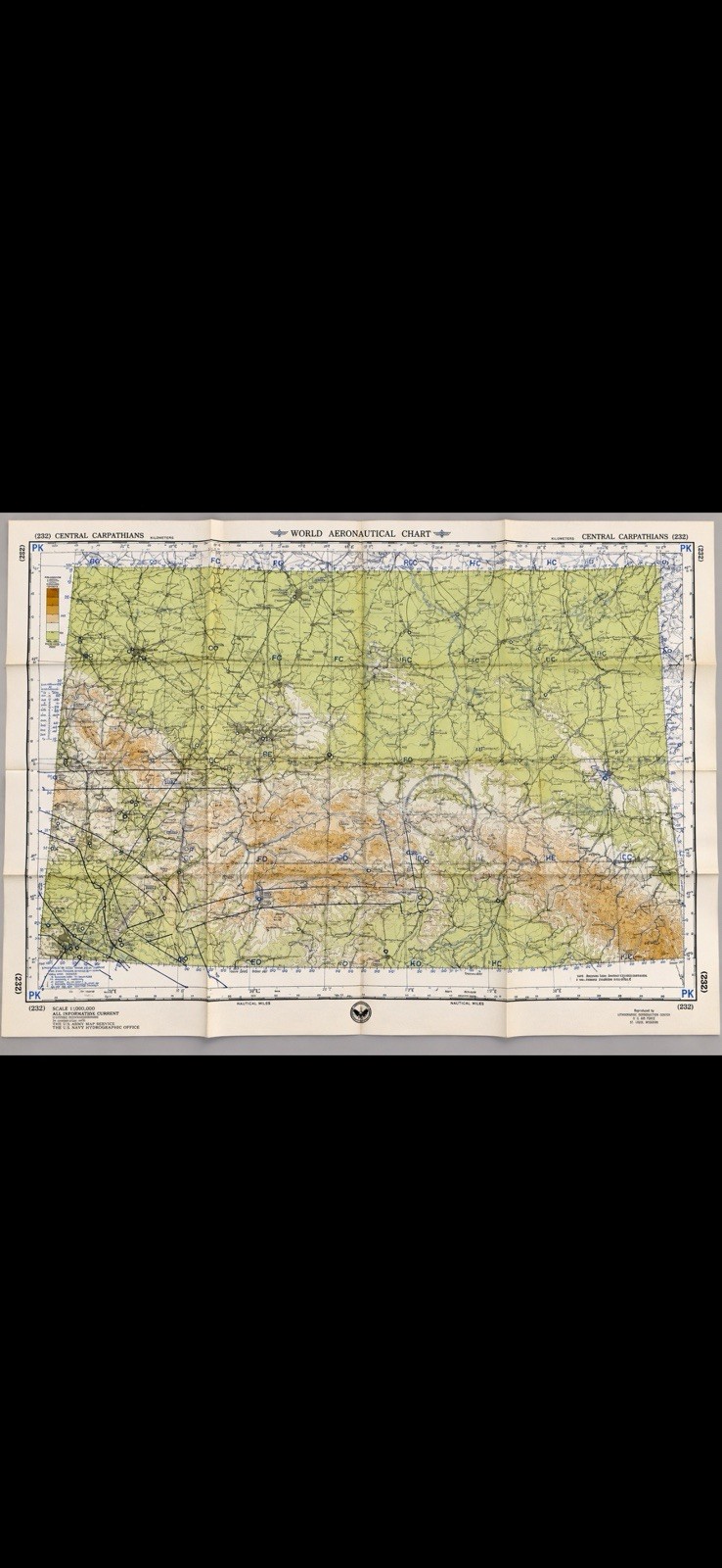
Original vintage Central Carpathians (232) World Aeronautical Chart from the Cold War era.
Chart: Central Carpathians (232)
Edition: 7th Edition Revised
Air Information Current: March 1955
Scale: 1:1,000,000
Region: Austria, Czechoslovakia, Hungary, Poland, Romania and U.S.S.R.
This large original aeronautical chart features detailed period aviation information, air routes, navigation facilities, terrain elevations, cities, borders and other aviation markings across Central and Eastern Europe.
Especially interesting for Cold War collectors due to the period geography, including Czechoslovakia and the U.S.S.R., along with the printed notation concerning international boundaries and U.S. government recognition.
The reverse contains the original World Aeronautical Chart Index, aeronautical symbols, radio-facility information, abbreviations, elevation information and chart-reference material.
Original vintage chart, not a reproduction.
Vintage condition with original fold lines and normal age-related toning/wear. No tears noted. Please examine photos for exact condition.
Excellent collectible/display piece for aviation, military history, Cold War, cartography and vintage map collectors.
Ships carefully folded along its existing original folds.