

|
Site Categories |
|
Featured Items |

Poodle, Spaghetti Trim, Ucagco


|
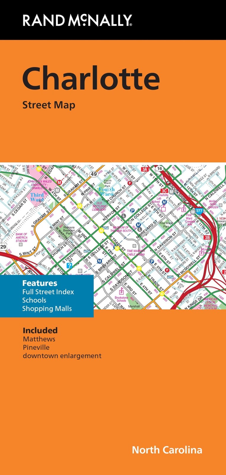
Rand McNally Folded Map: Charlotte Street Map For Sale

When you click on links to various merchants on this site and make a purchase, this can result in this site earning a commission. Affiliate programs and affiliations include, but are not limited to, the eBay Partner Network.

Rand McNally Folded Map: Charlotte Street Map:
$17.99
Rand McNally Folded Map: Charlotte Street Map Product Details - Publisher : Rand McNally
- Publication date : June 10, 2024
- Language : English
- ISBN-10 : 0528028405
- ISBN-13 : 03
- Item Weight : 1.76 ounces
- Dimensions : 9 x 4 x 0.1 inches
- Best Sellers Rank: #108,944 in Books (See Top 100 in Books) #360 in Wall Maps #397 in Atlases & Maps (Books)
- #360 in Wall Maps
- #397 in Atlases & Maps (Books)
Rand McNally\'s folded map for Charlotte is a must-have for anyone traveling inand around this part of North Carolina, offering unbeatable accuracy andreliability at a great price. Our trusted cartography shows all Interstate,U.S., state, and county highways, along with clearly indicated parks, pointsof interest, airports, county boundaries, and streets. The easy-to-use legendand detailed index make for quick and easy location of destinations. You\'llsee why Rand McNally folded maps have been the trusted standard for years. -Regularly updated. - Full-color maps. - Clearly labeled Interstate, U.S.,state, and county highways. - Indications of parks, points of interest,airports, county boundaries, schools, shopping malls, downtown & vicinitymaps. - Enlargements of downtown. - Easy-to-use legend. - Detailed & fullstreet index. - Convenient folded size. Coverage Area Communities Included:Matthews, Pineville. Product Details: Measures 9.5\' x 4\' and folds out to 40\'x 28\'. Read more
|
|
Related Items: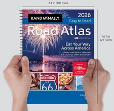
2026 Rand McNally Easy to Read Road Atlas (New) $17.99
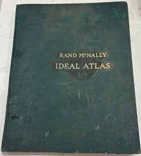
Rand McNally & Company Ideal Atlas 1916 World Large Scale Colored Maps 14” x 11” $28.00
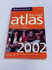
Rand McNally The Road Atlas Pocket Size 2002 USA Canada Mexico Travel Map Book $17.98
|
|
|
Shopping Cart  |

|
Recently Viewed |
|
Latest Items |
|
Facebook |
Secure Websites

|
