When you click on links to various merchants on this site and make a purchase, this can result in this site earning a commission. Affiliate programs and affiliations include, but are not limited to, the eBay Partner Network.
Very RARE!
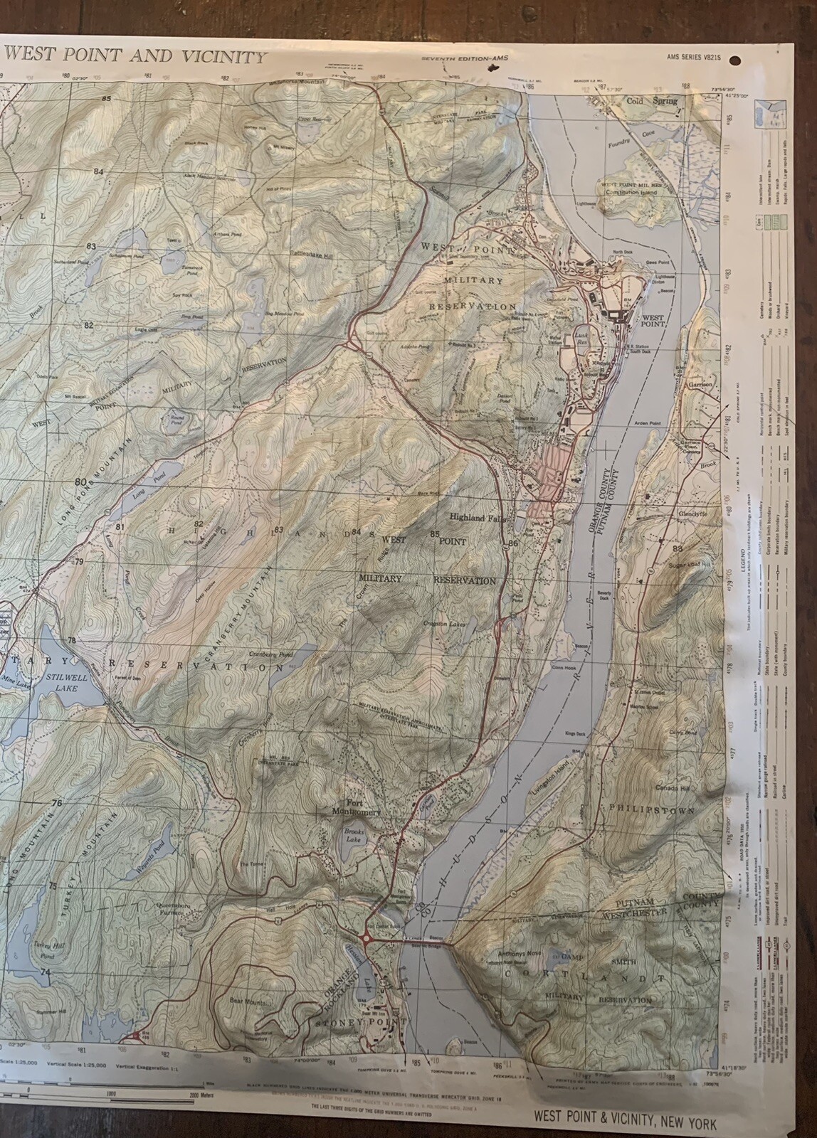
1952 West Point and Vicinity, 1:25,000, 3D Plastic Topographic Relief Map Prepared by US Army Map Service, Corps of Engineers, US Army Washington DC.
Includes Training Areas ~ 20 feet Contour Intervals ~
27 inches wide x 21 1/2 inches tall ~
Excellent Condition, only minor splits at edges.