

|
Site Categories |
|
Featured Items |

Poodle, Spaghetti Trim, Ucagco


|
Nevada State Map by Rand McNally For Sale


When you click on links to various merchants on this site and make a purchase, this can result in this site earning a commission. Affiliate programs and affiliations include, but are not limited to, the eBay Partner Network.

Nevada State Map by Rand McNally:
$8.95
Nevada State Map by Rand McNallyEntire State Shown On One SideSize 26½\" x 18\" (Folded 4\" x 9½\")Counties Outlined & Labeled.Cities & Towns marked by relative population.Detailed Insets of:Carson City, Lake Tahoe Region, Las Vegas, Las Vegas Strip, Laughlin, RenoLake Mead National Recreation AreaInterstate Highways, U.S. Highways, State Highways, County Highways. Some connector roads shown.City & County Index.©2004
|
|
Related Items: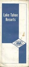
1966 ACSC Road Map LAKE TAHOE RESORTS Directory Motels Casinos California Nevada $14.99
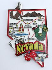
NEVADA STATE MAP AND LANDMARKS COLLAGE FRIDGE COLLECTIBLE SOUVENIR MAGNET $8.45
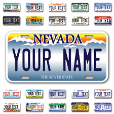
Custom state License Plates with personalized text Car 12x6- Moto 7x4 - Bike 6x3 $17.99
|
|
|
Shopping Cart  |

|
Recently Viewed |
|
Latest Items |
|
Facebook |
Secure Websites

|
