When you click on links to various merchants on this site and make a purchase, this can result in this site earning a commission. Affiliate programs and affiliations include, but are not limited to, the eBay Partner Network.
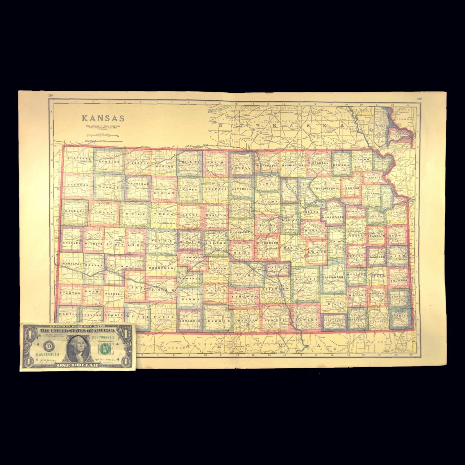
Antique KANSAS Map Railroad LARGE Original AT&SF Missouri Pacific RR MKT
This is an LARGE ORIGINAL Kansas atlas map taken from a 1922 atlas. This map is very detailed and shows railroads in black line whose names are along those lines and abbreviated (like Atch. Top. San. Fe., Un. Pac., M. K. & T., Mo. Pac. etc.), as well as rivers, creeks, mountains, small towns. This map also indicates some Interurban Electric Rail Lines in dashed blue lines and some Indian Reservations in dashed red lines. This entire map page measures about 22-7/8" x 14-7/8" and the entire map image measures about 20" x 13-7/8". **On the reverse side of this map page is text.