When you click on links to various merchants on this site and make a purchase, this can result in this site earning a commission. Affiliate programs and affiliations include, but are not limited to, the eBay Partner Network.
PROSERIES WALL MAP: MONTANA STATE (R)
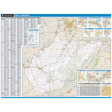
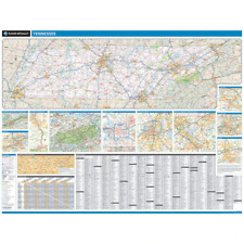
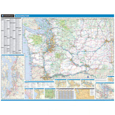
DESCRIPTIONRand McNally\'s state wall map of Montana is ideal for anyone needing a comprehensive representation of the area for planning, routing, or reference. It\'s a great choice for business and sales strategy, urban development, social work outreach, education, and marketing. Montana residents, businesses, and government offices are sure to find this wonderful reference tool irreplaceable. Copyright 2015.Laminated wall map printed with UV-resistant ink to help prevent color fadingMap details include state highways, federal highways, county highways, county boundaries, city shading, cities and towns, major waterways, state/national parks, campsites, exit numbers, rest areas, military installations, airports, golf courses, universities, and much more.City/county index on the mapA mileage chart with 128 mileage pairs between 16 citiesIncludes a hanging kit with rails for easy mounting just about anywhereCOVERAGE AREAInset maps include: Billings; Butte; Great Falls; Helena; Missoula; and Wateron-Glacier International Peace Park
PRODUCT DETAILSDimensions: 46\" x 60\"Scale: 1\" = approximately 11 miles


")